#Landmark
Launch base V1, the Virgin's Wood
Completed third generation site, located in the commune of Aumale. Incorrectly located in Varembeaumont Wood (south of Aumale) on the German summary map. It bears the German code 192 but is only classified as a reserve.
The Bois de la Vierge base, located in the commune of Aumale, is a third-generation ‘modified’ or ‘light’ launch site. Its layout is even more minimalist than the ‘light’ site of the previous two generations. Simplification has been taken to the extreme, with this type of base comprising just one building: the launch bunker.
The entire V1 implementation process is therefore carried out without any permanent structure. With the exception of the firing bunker, concrete was used here only for ground works: concrete paths to get around the site, water tank, non-magnetic platform (which contains no metal structure), etc.
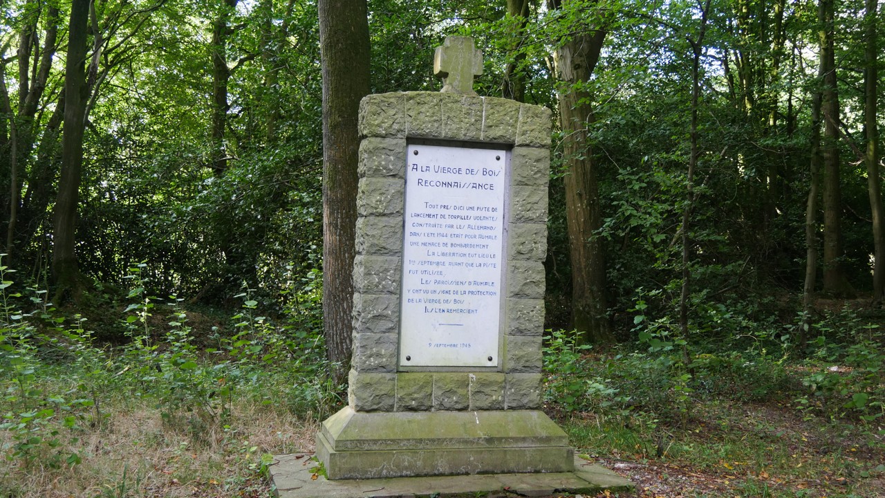
Although built in secret, on the heights of the town of Aumale, sheltered by the trees of the Bois de la Vierge and relatively far from the surrounding dwellings, the Bois de la Vierge site was spotted and bombed by the Allies during the conflict. However, because of this great discretion, very little information or documentation has been gathered about this V1 base.
Only anecdotes about the construction of the site, recounted by some of the local residents who lived there at the time, have survived to the present day.
Jean Doom explains: ‘We used to carry sand during the construction of the site. It arrived at the station in wagons. The stones and all that stuff would arrive at the station and we'd take them up the road in a cart. We'd go up near the water tower, higher up, and then off into the woods. The requisite Russians were there to destroy us.”
You will find a map showing the remains of the V1 launch base at Aumale (Bois de la Vierge), as it existed in 1944.
Created by Mr. Yannick DELEFOSSE using IGN maps, field surveys, and archival documents, this detailed map makes it possible to identify the various structures of the base (reception platforms, launch ramp, technical shelters, etc.) as they existed in 1944, as well as their exact location within the current landscape.