#Landmark
Poteau de Montauban - V1 Launch base
The V1 base at Guerville was part of the network of light sites that were operational from June 1944.
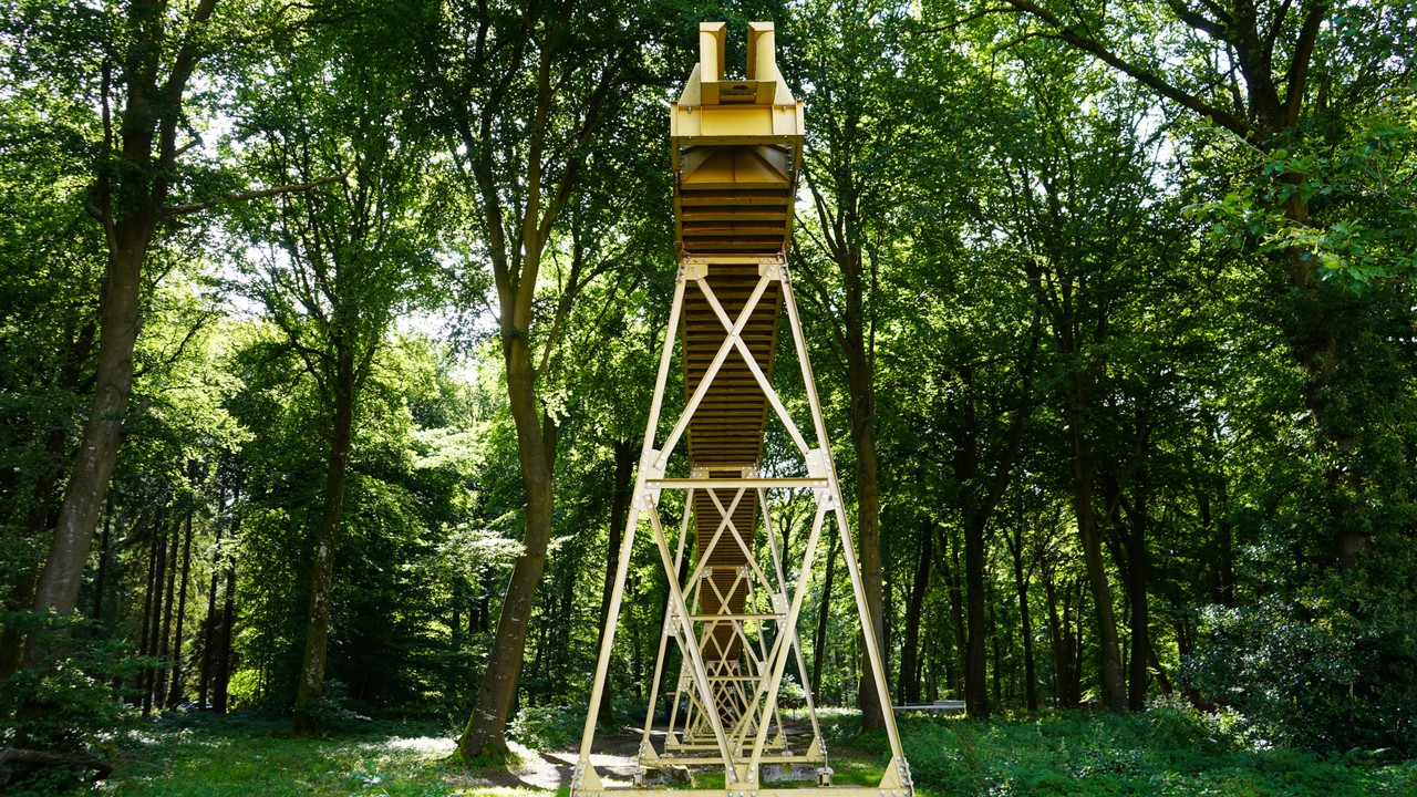
The V1 site at Poteau de Montauban, located in the commune of Guerville, came into being during the winter of 1944. This was a first-generation ‘modified’ or ‘light’ site. Compared with the ‘heavy’ sites, which included a dozen or so concrete structures needed to deploy and fire the flying bombs, the organisation of this type of base was simplified.
The number of concrete buildings was limited, and concrete was sometimes replaced by temporary wooden structures, which were quicker to build and less expensive. Sheltered by trees and camouflaged by nets stretched over certain areas, the base is difficult to spot from the air. The Poteau de Montauban site was one of the few bases to fire the first salvo of the entire V1 offensive, on the night of 12-13 June 1944.
A few days later, Allied aircraft spotted the site and several aerial photographs were taken. The first bombing raids took place at the beginning of July, but although they were substantial, they failed to hit their target. The raids continued and the base was gradually damaged. In August 1944, faced with the damage and the ground advance of the Allied forces, the Germans were forced to abandon the site and retreat to those further north.
You will find a map showing the remains of the V1 launch base at Guerville (Carrefour de Montauban – Melleville), as it existed in 1944.
Created by Mr. Yannick DELEFOSSE using IGN maps, field surveys, and archival documents, this detailed map makes it possible to identify the various structures of the base (reception platforms, launch ramp, technical shelters, etc.) as they existed in 1944, as well as their exact location within the current landscape.