#Story
Flugwachkommando at Ruimzicht
Villa Ruimzicht was originally built in the mid-19th century as a modest four-room farmhouse. Later, it was converted into a boarding school for students training to become ministers.
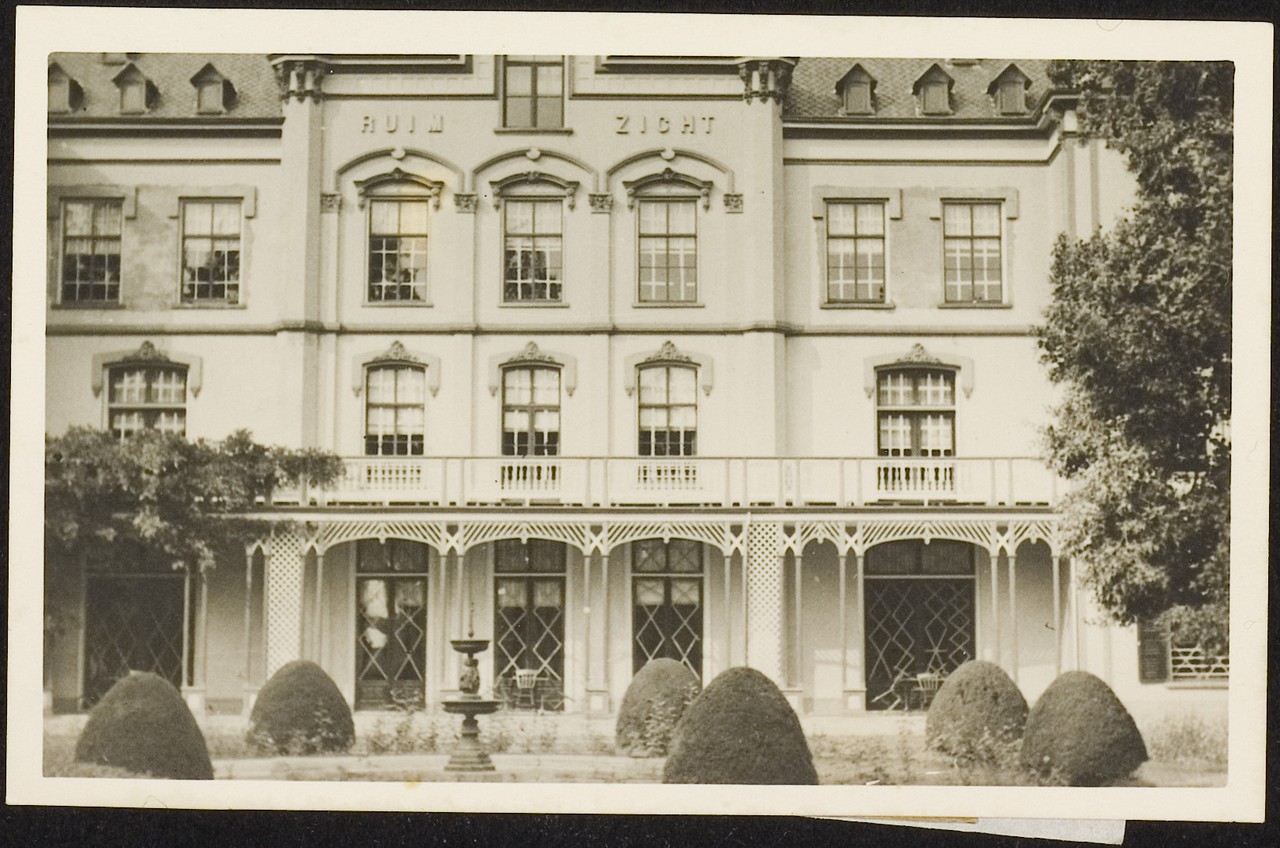
In July 1940, the German occupiers seized the now-imposing villa and established a signal-tracking centre there. From this location, they actively searched for resistance transmitters. Once a signal was detected, they would deploy a mobile tracking unit to locate it. Fortunately, the resistance often outmanoeuvred these efforts by frequently relocating their transmitters.
From 1944 onwards, the villa also served as a regional air defence centre for the Luftwaffe, known as a Klein-Flugwachkommando (Klein-Fluko). It became a key node in the Luftwaffe’s extensive communications network in the occupied territories. Prior to this, the command post had been housed in a barracks in the Kattennest forest area north of Doetinchem.
Klein-Fluko was part of the Kammhuber Line, the German radar-based air surveillance network in Western Europe. The Luftwaffe developed a system to track aircraft via radio signals with precision. This tracking was carried out at various centres, including some north of Arnhem, all connected to the Diogenes bunker near Schaarsbergen — a massive concrete structure built in 1943 to coordinate German air defences.
In its central hall stood a large frosted-glass map depicting the Netherlands, parts of Belgium, and Germany. Around forty Luftnachrichtenhelferinnen(female Luftwaffe communication auxiliaries) worked there, processing radar data. In the event of an enemy approach, the information was immediately relayed to Deelen Airfield, where German fighter aircraft were kept on standby.