#Fortification
A silent killer
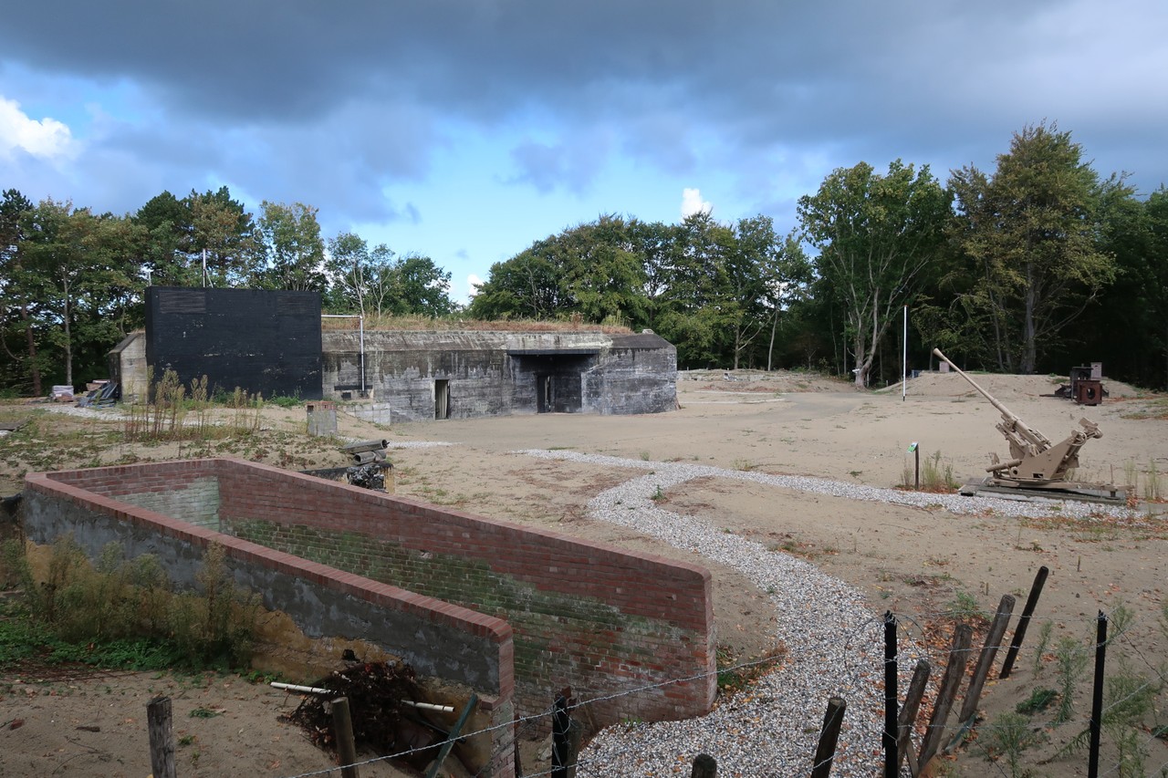
In the dunes of Oostvoorne stands a massive two-story command bunker that played a key role in the air war during World War II. It served as a combat control center that used radar data to guide German night fighters toward unsuspecting British bombers. Today, it is a museum. Guided tours also include visits to several other interesting structures within the large radar complex known as Biber.
From the beginning of the war, the Luftwaffe had set up air watch posts (FlugWachen) along the Dutch coast. During the day, soldiers scanned the skies with binoculars for British aircraft, and at night they listened carefully to locate the direction of approaching engines.
A new technological development at the time was RADAR, short for Radio Detection And Ranging. Radio signals sent from the ground were reflected by aircraft in the air and then received back. Based on the time difference between transmission and reception, the position of a flying object could be determined. Radar measurements made it possible to detect British aircraft hundreds of kilometers away. This allowed air raid alarms to be sounded sooner, and anti-aircraft defenses and German fighter planes to respond more quickly.
The Luftwaffe also experimented with radar as a tool for combat guidance, where a pilot in the air was directed from the ground toward his target. This was a response to the increasing number of nighttime bombings on German industry and cities, during which the British aircraft were difficult to see.
By the spring of 1942, a chain of overlapping radar stations was active, providing both early detection and coordination of aerial combat in the airspace above. One of these was radar station “Biber” in the dunes of Oostvoorne. Here, data on incoming aircraft were collected from various air watch and long-range radar posts in the region.
After processing the data, aircraft positions were projected onto overview maps, creating a complete picture of the air situation. Once an Allied aircraft came within 50 kilometers, it entered the range of a so-called Würzburg Riese. This large, rotating and precise parabolic radar was part of the Biber station, and its measurements were displayed inside the command bunker as a red light dot on a plotting table (Seeburgtisch).
The combat controller, in radio contact with the German pilot circling above the station, would monitor this display. The pilot’s patrol area covered a radius of several dozen kilometers around the Würzburg Riese. The position of the German night fighter was also tracked using a second Würzburg Riese and shown as a blue dot on the plotting table. The controller could thus clearly see both aircraft positions and guide the night fighter by radio through the darkness toward the unsuspecting enemy caught in the radar beams.
When the blue dot of the German fighter appeared close to the red dot of the British bomber on the plotting table, it meant they were only a few hundred meters apart. The pilot could then visually spot the silhouette of his target in the dark and launch his attack. Dozens of Allied aircraft fell victim to this station’s operations, and even more were downed indirectly due to the radar data it transmitted to inland anti-aircraft defenses.